English Below.
昔の荷物輸送に使用されてた丸木船はどれくらいの推進力があったのかはわからないけれど、パックラフトでやってみようという企画。前回記事では、太平洋の勇払川河口から立ち入り制限のあるウトナイ湖下流手前までを漕ぎ上がるセクションについての記事でした。
“ユウフツ越え”について
北海道には、かつて川を交通路として太平洋から日本海へ抜ける「ユウフツ越え」と呼ばれる川を道として利用された交通輸送路がありました。パックラフティングをしていれば、上流から下流、そして、河口へ抜けるスルーパドリングのイメージはあるけれど、このルートは太平洋の勇払川→ウトナイ湖(前後通行不可)→美々川→陸路で千歳川。ここまでは全て下流から上流へ漕ぎ上がる区間、ここを頂点に上流から下流へ下る区間、千歳川→石狩川→日本海の逆ルートは「シコツ越え」と言う。
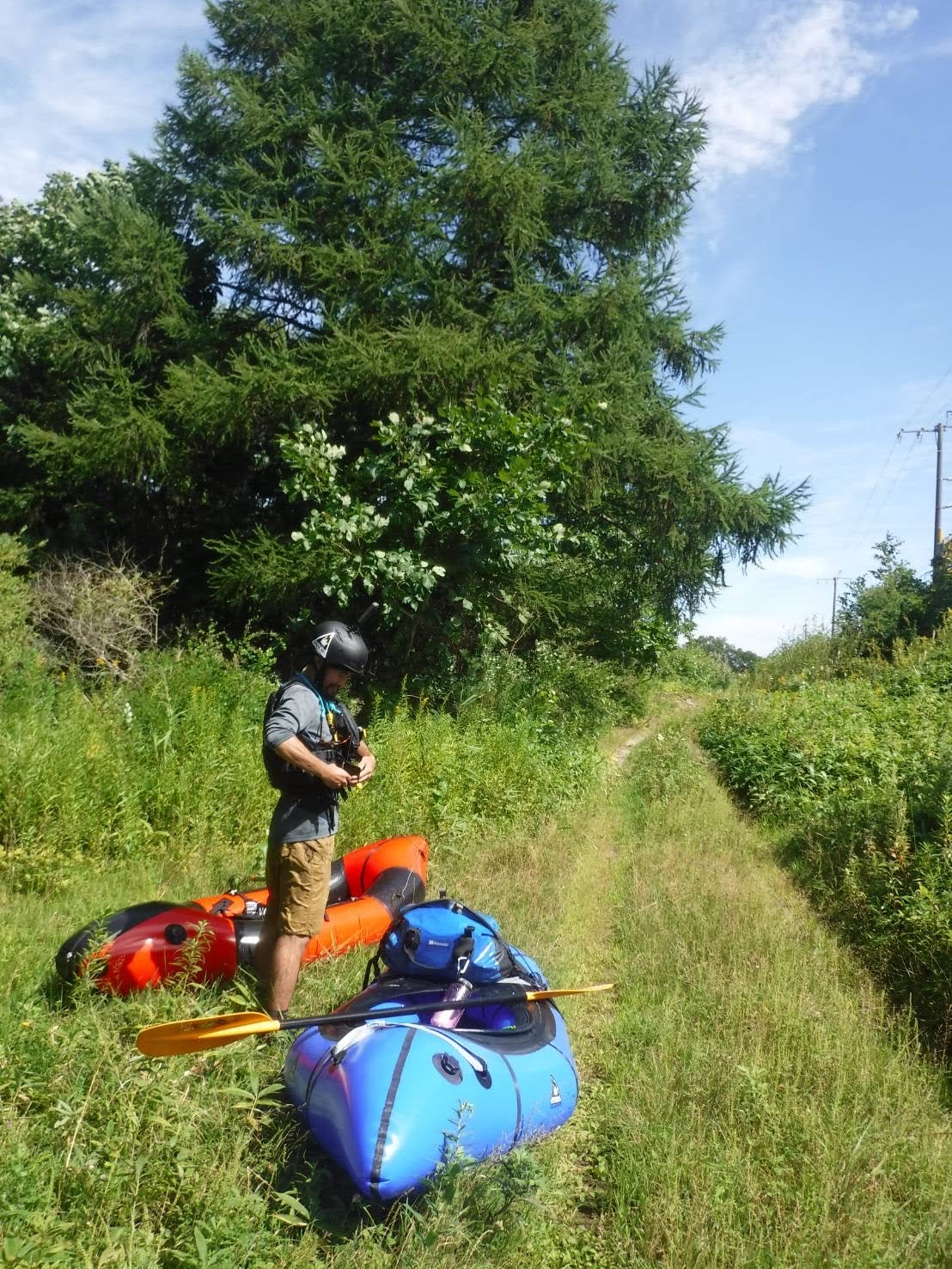
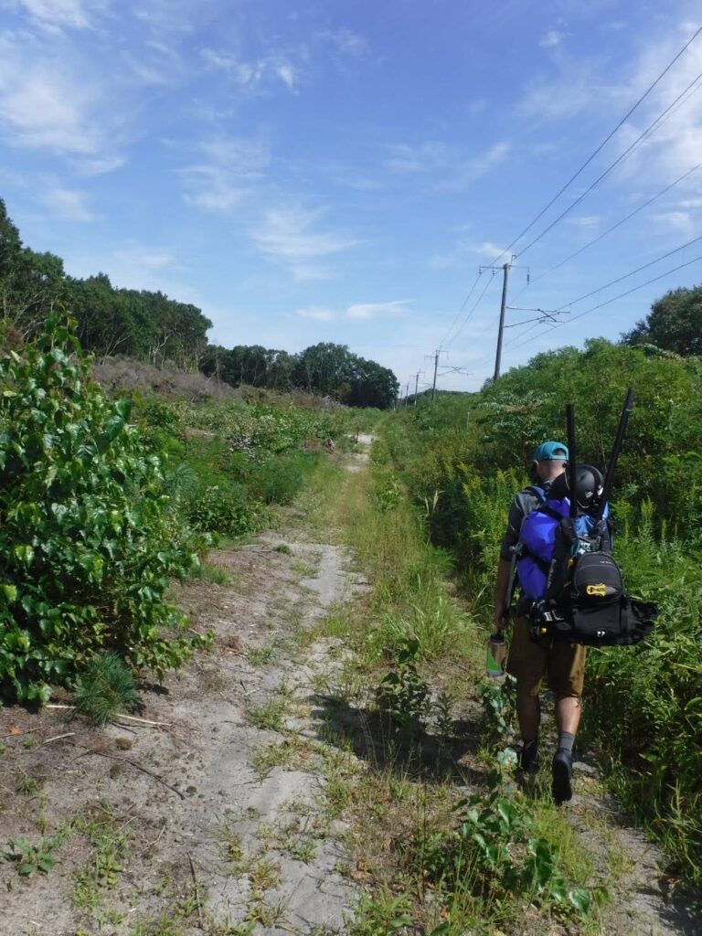
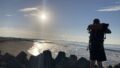
勇払川を漕ぎ終え、パックラフトをパッキングしてのハイクセクション
勇払川セクションを河口から上流部まで漕ぎ終え、立ち入り制限のあるウトナイ湖下流手前で無事に上陸。
パックラフトをパッキング、これから美々川までの歩きセクションに入ります。
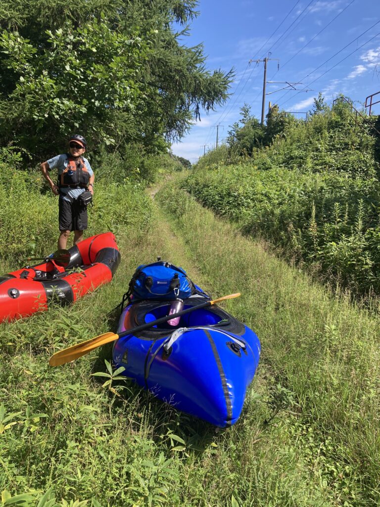
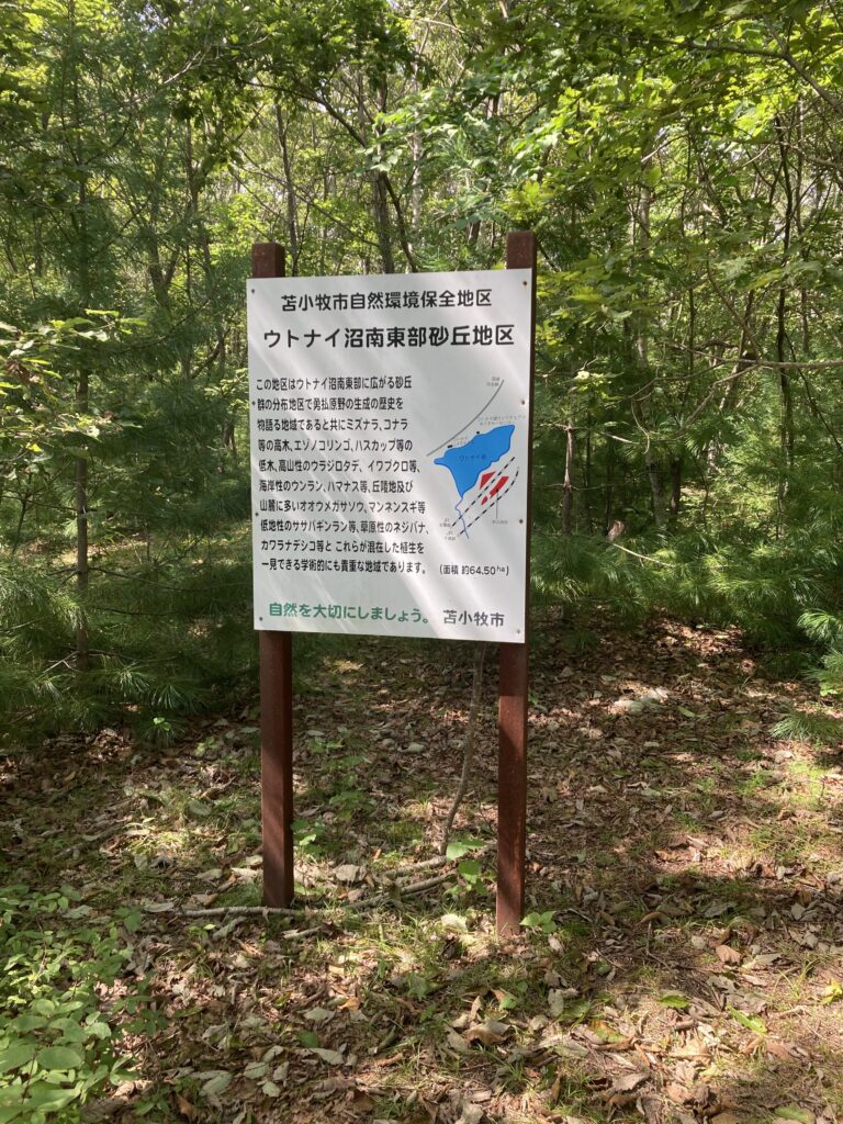
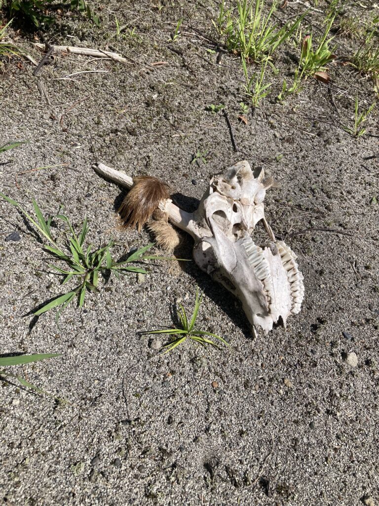
かつて、この辺りが海だった事がわかる植生、白骨化した鹿、線路脇の草木がせり出したダブルトラックのハイクセクションは、街からそれほど離れた場所ではありませんが、バックカントリー感が十二分に溢れている場所でした。
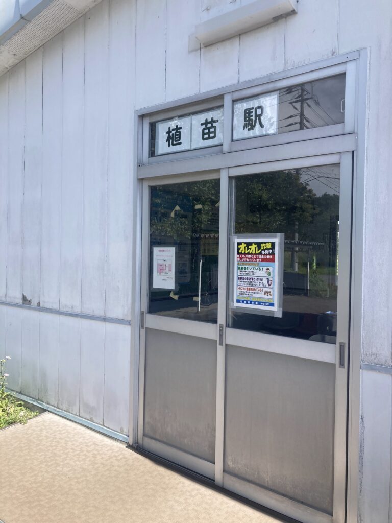
あえて、幹線道路を歩くことは避けて、無人のJR駅、生活道路を抜けます。
その後、いわゆる美々川ゴールのカヌーポートのあるタップコップ親水公園へ到着、ウトナイ湖上流の美々川最下流のインレットには野鳥保護ということで入ることはできませんので、ご注意を。
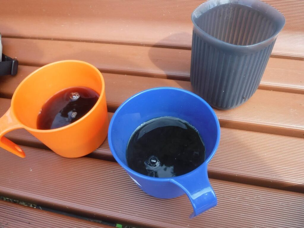
ここで、ホッと一息つくランチタイム。次回、”パックラフトで行く、ユウフツ越え③最終回”では、美々川下流から上流部までを漕ぎ上がります。
I don’t know how much propulsion the round-timber boats used to transport cargo in the past had, but this is a project to try it with a packraft. The previous article was about a section rowed up from the mouth of the Yufutsu River in the Pacific Ocean to just before the lower reaches of Lake Utonai, where access is restricted.
About the “Yufutsu Goe”
In Hokkaido, there used to be a transportation transportation route that used the river as a road, called the Yufutsu Crossing, which passed from the Pacific Ocean to the Sea of Japan. If you are pack rafting, you have an image of through paddling from upstream to downstream and then to the mouth of the river, but this route is the Yufutsu River on the Pacific Ocean, Lake Utonai (no back and forth traffic), Mimagawa River, and overland to the Chitose River. The reverse route from the Chitose River to the Ishikari River to the Sea of Japan is called “Shikotsu Goe”.
Hike section after paddling the Yufutsu River and packing the packraft
After paddling the Yufutsu River section from the mouth to the upper reaches of the river, we landed safely just before the lower reaches of Lake Utonai, where access is restricted.
After packing our packrafts, we will now begin the walking section to the Miimigawa River.
The vegetation that tells us that this area used to be a sea, the white-boned deer, and the double-track hiking section with overhanging vegetation by the railroad tracks…it is not far from the town, but it has more than enough backcountry feel to it.
Daring to avoid walking on the main road, we passed through an unmanned JR station and a residential road.
After that, we arrived at the park where the canoe port is located at the so-called “goal” of the Bibi River. The inlet at the bottom of the Bibi River upstream of Lake Utonai is not allowed to enter due to bird protection.
Here, we had a nice lunch time to take a breather. In the next installment of “Over the Yuu Futsu (3)”, we will paddle from the downstream to the upstream of the Bibi River.
コメント