On June 19, 2026, the Bibi River was paddled solo, start to finish. From Matsubibi Bridge to Tappukoppu Waterside Park, the river section ran 5.79 km. After landing, the raft came apart, the bike went back together, and the day continued by bike to Aji no Daiou Sohonten — a ramen shop just off Route 36 — before doubling back to Matsubibi Bridge. The bike leg covered 8.56 km.
Loading a Bike Onto a Packraft
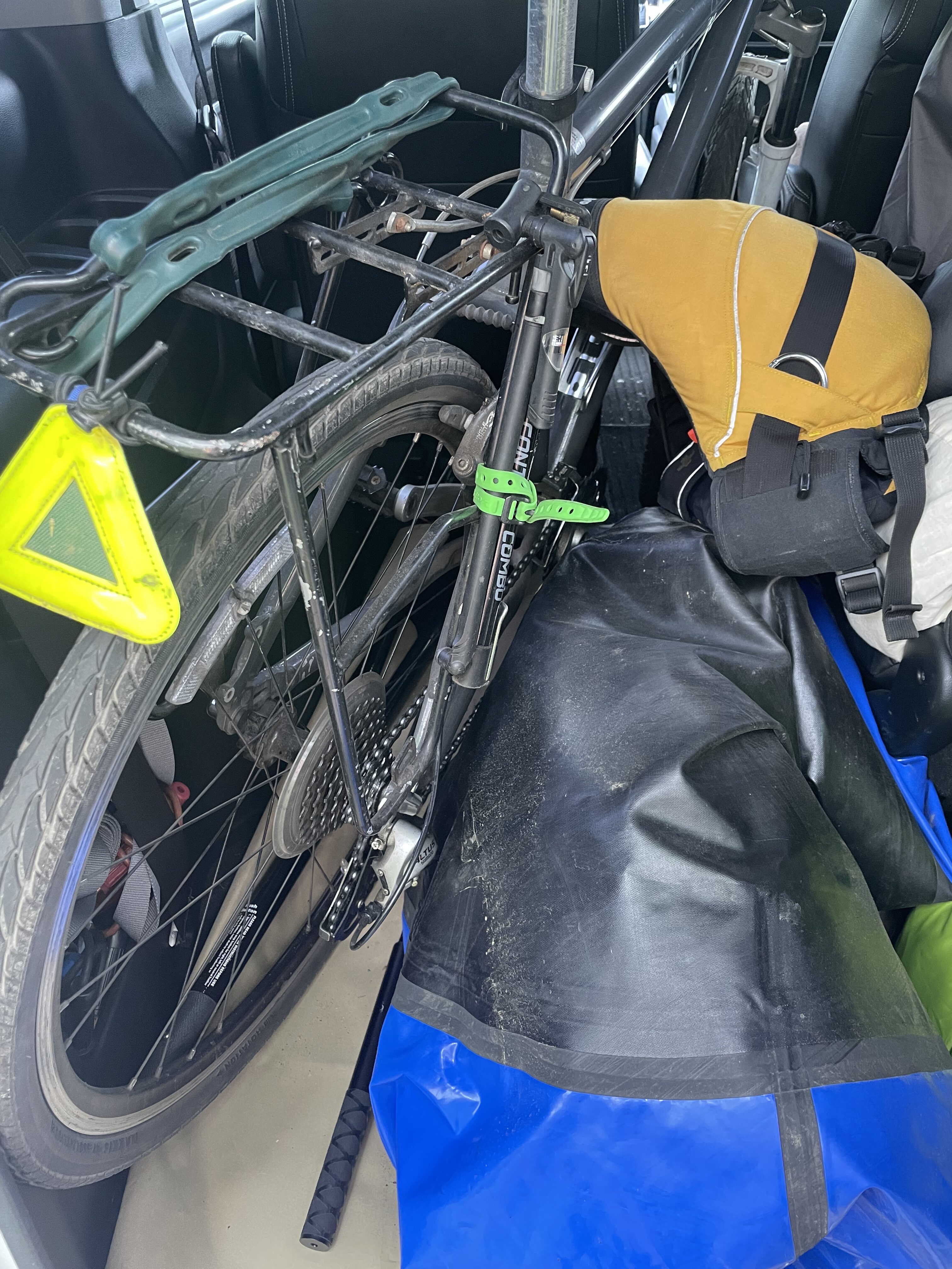
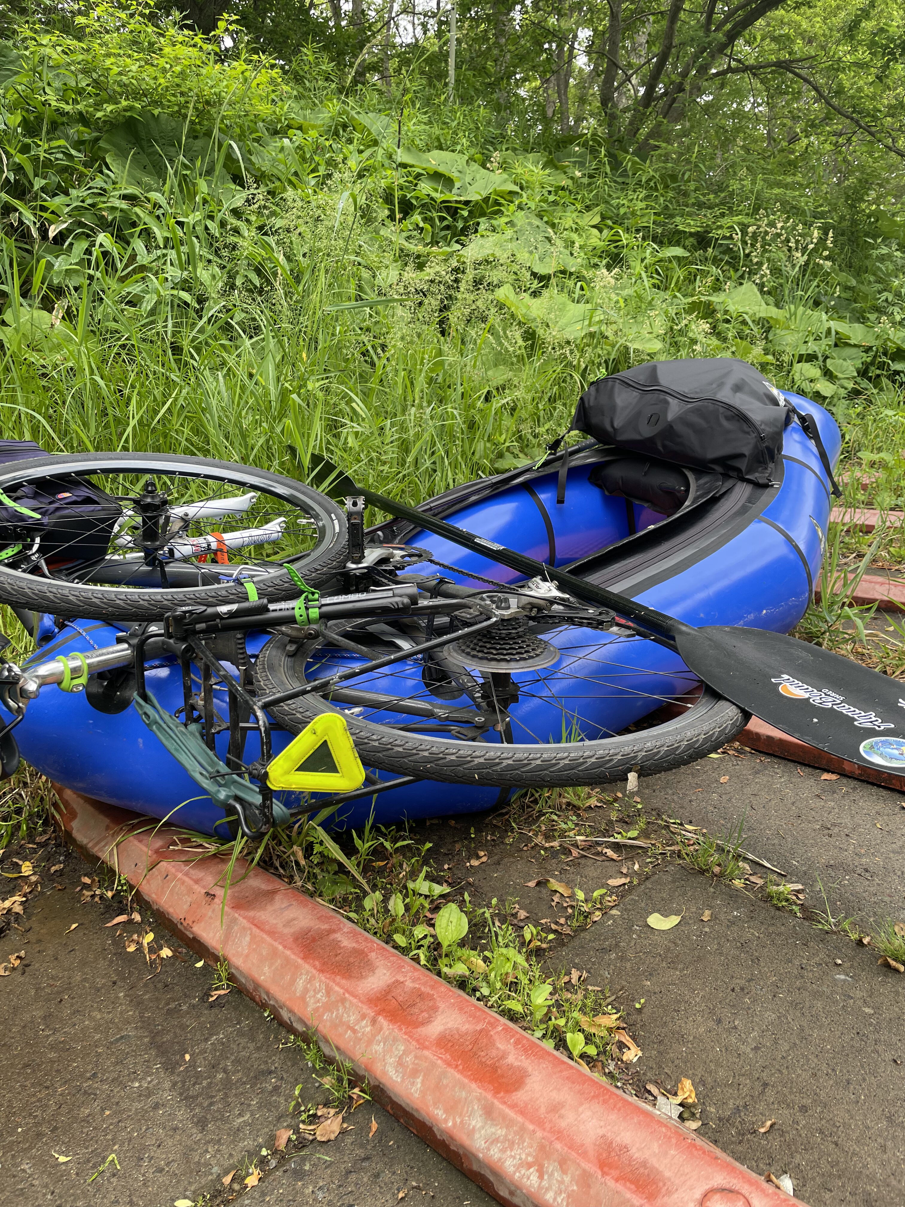
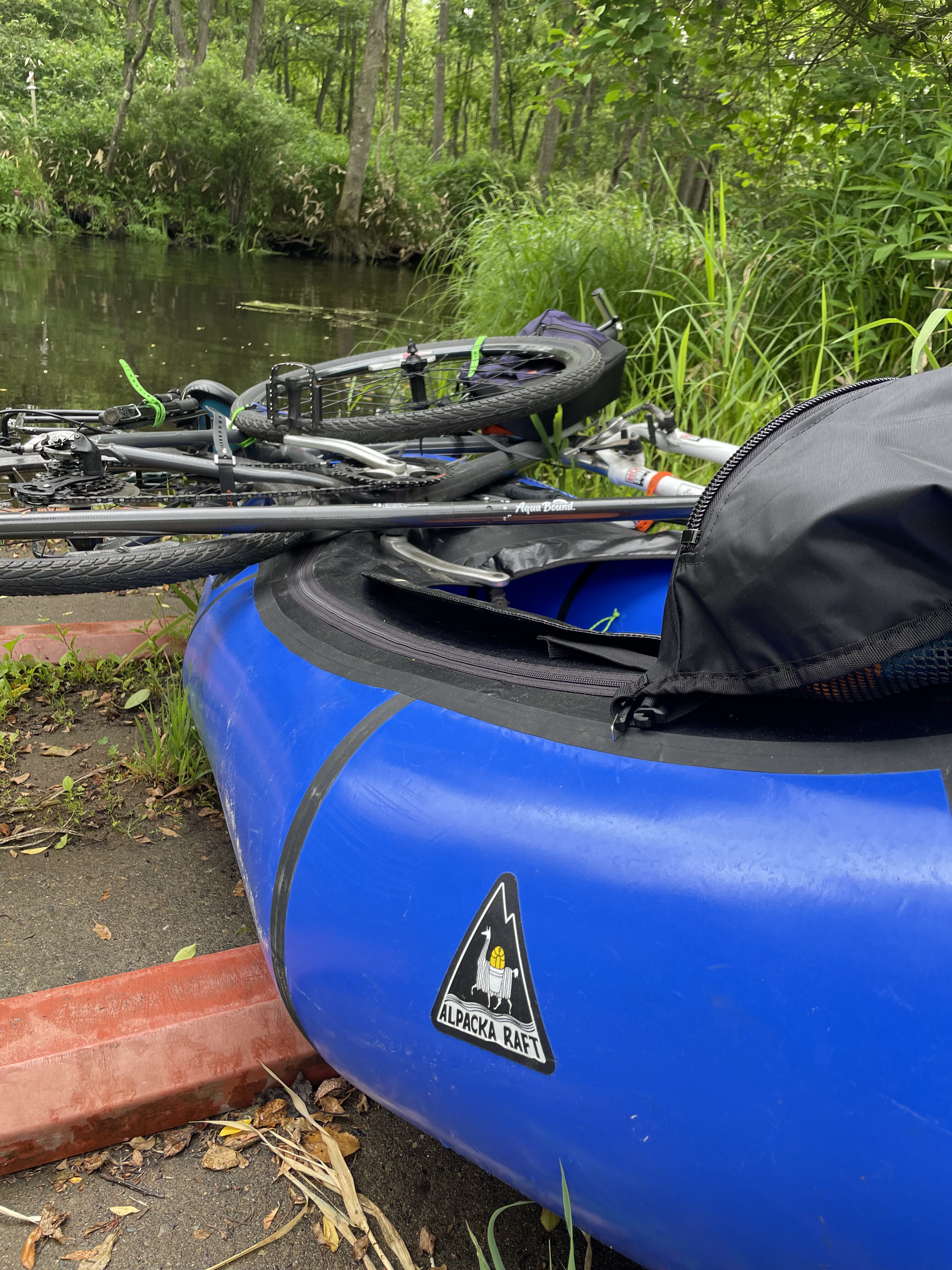
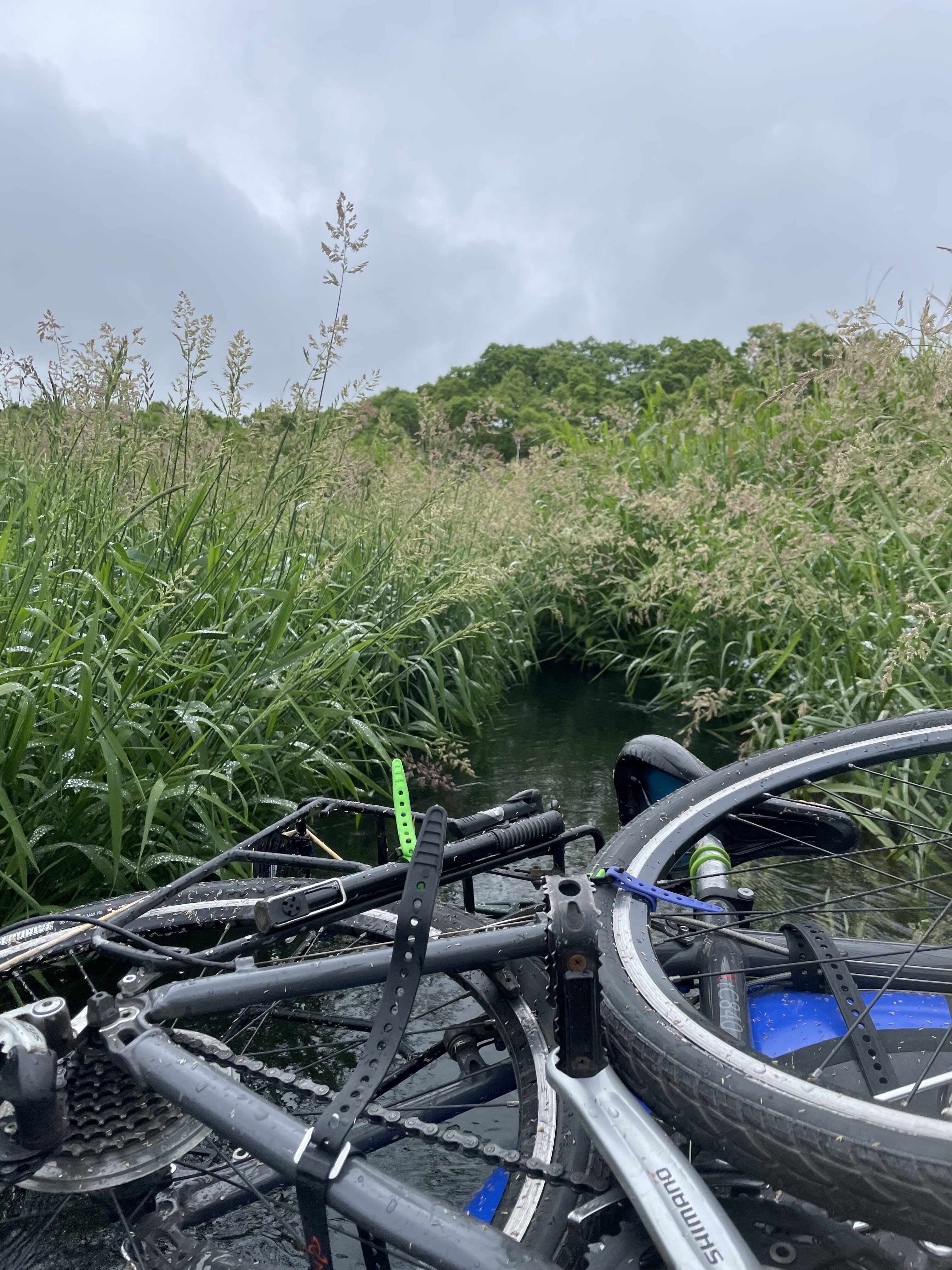
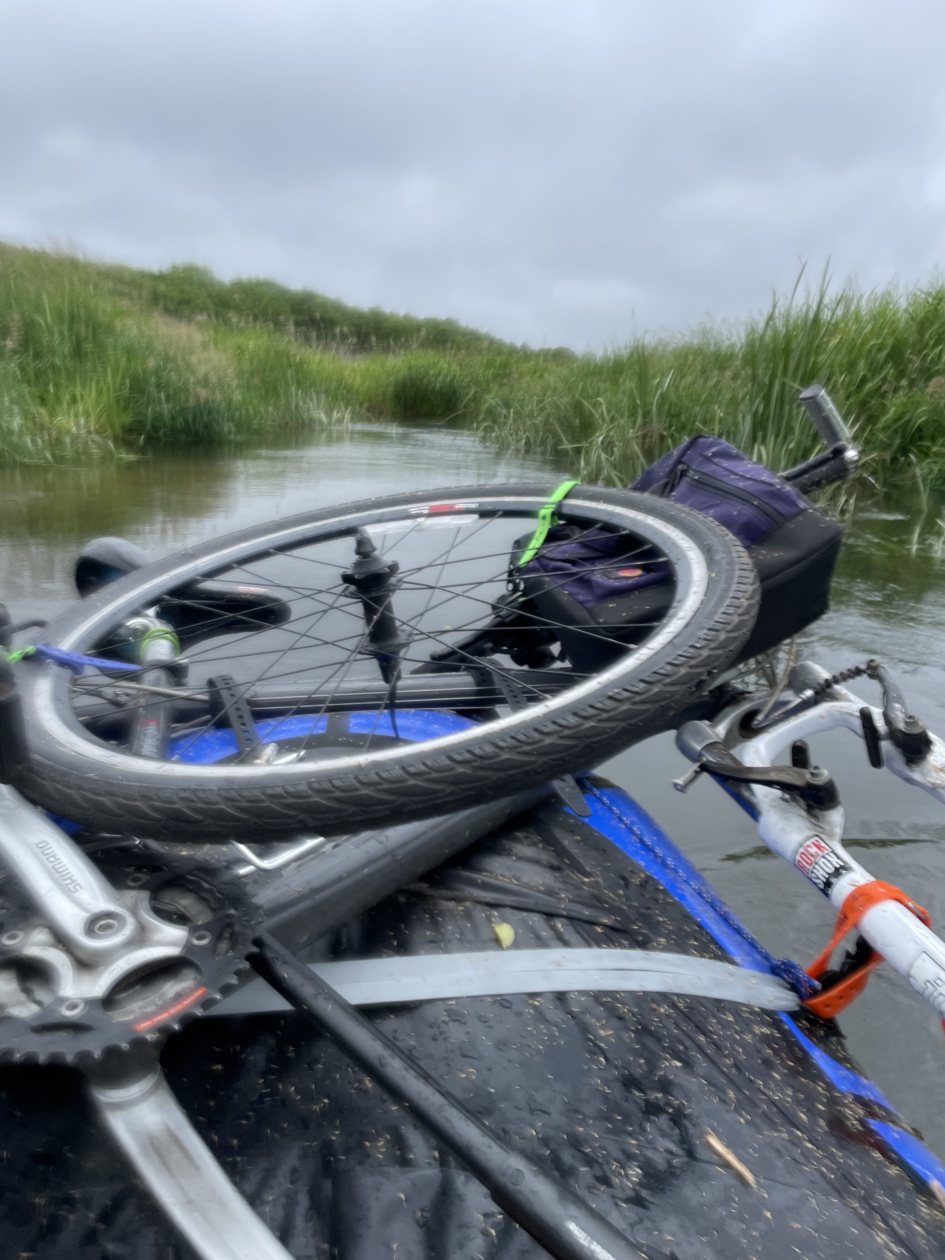
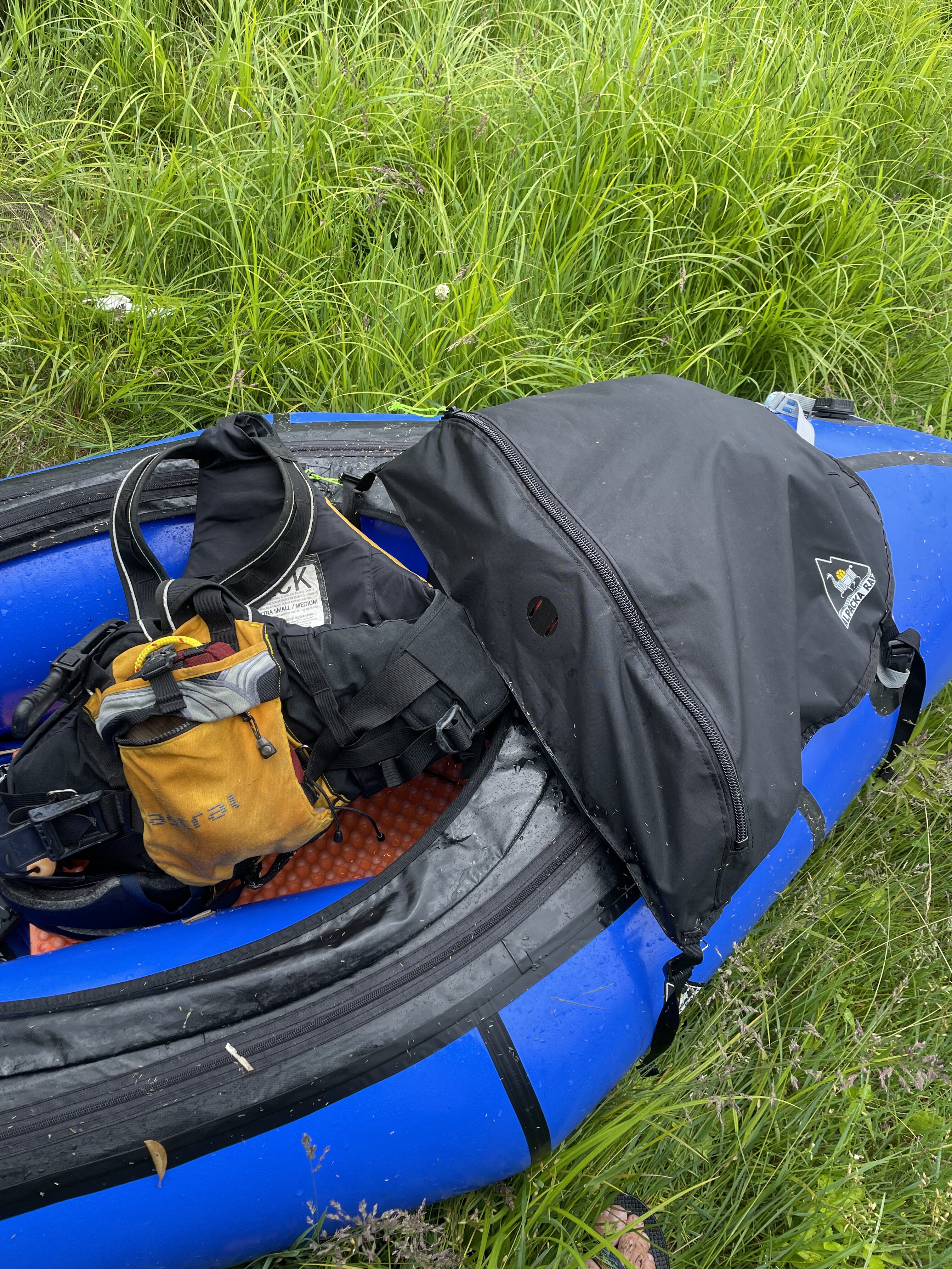
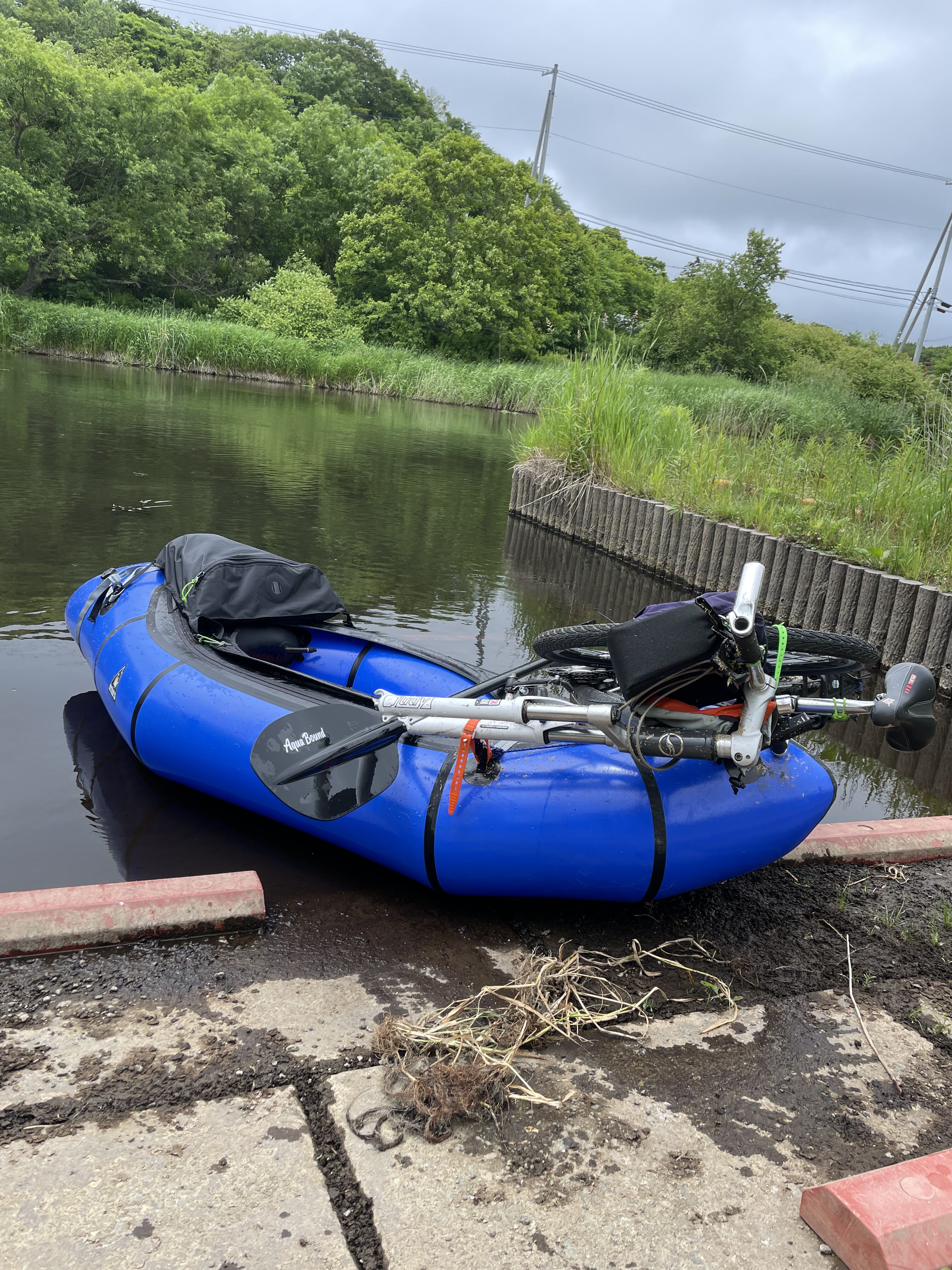
The car was parked at Matsubibi Bridge, and packing started there. The bike came apart — frame and wheels separated — and got lashed to the bow of the raft with straps and cord. The Alpacka Raft lap bag carried a repair kit and water.
Narrow Water, Grey Sky, a Little Rain
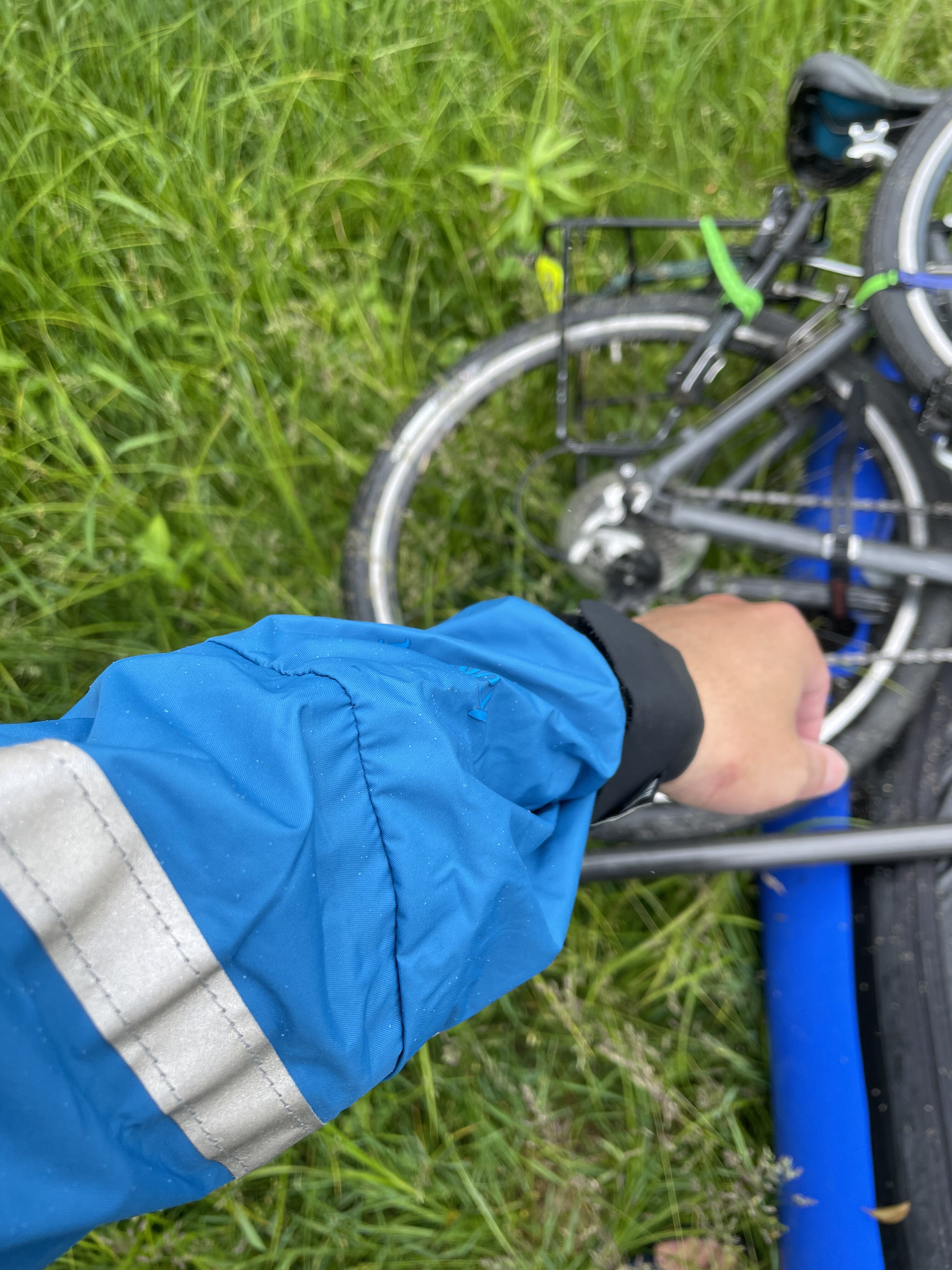
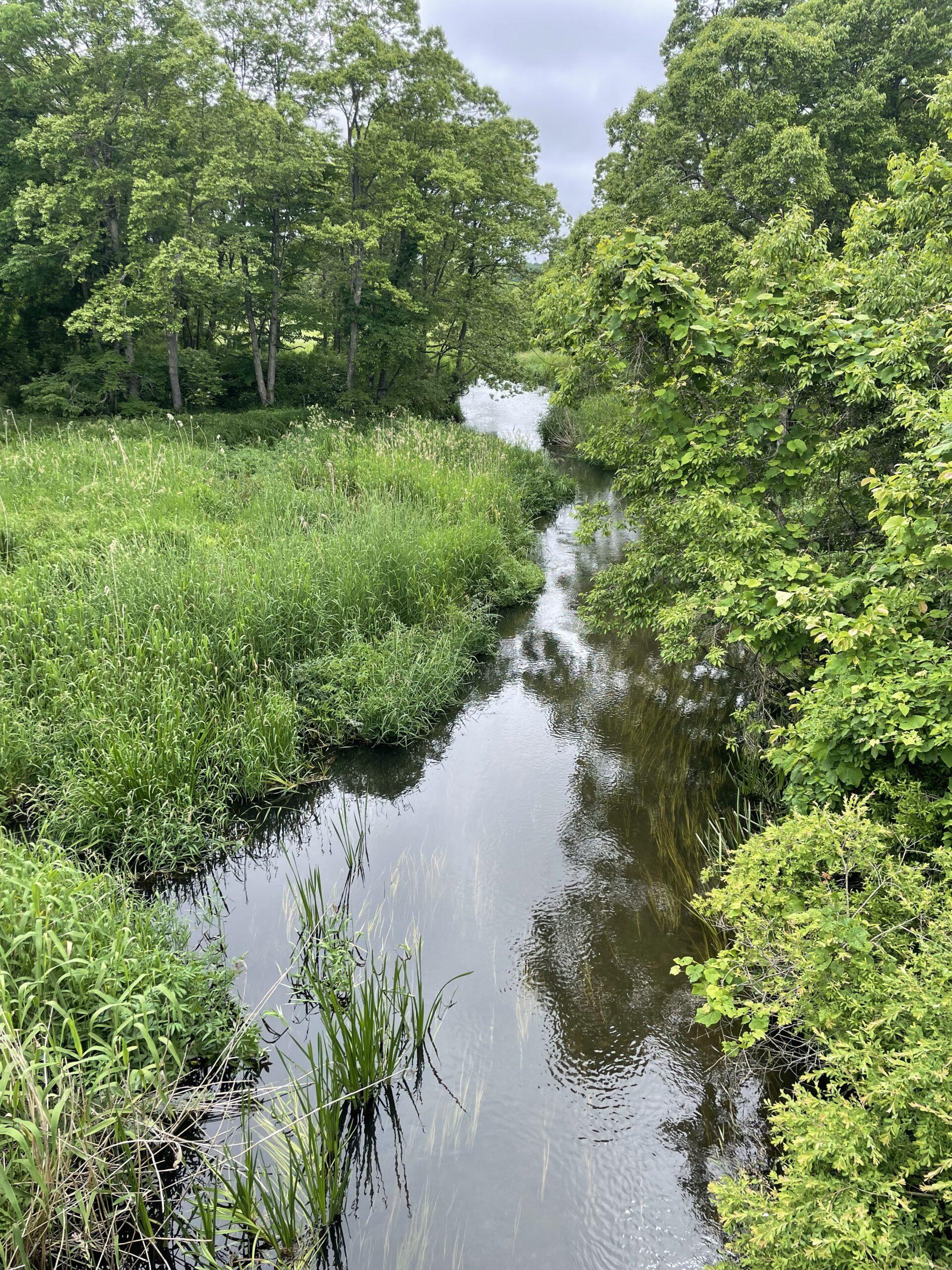
Right off the put-in, the Bibi River runs narrow, tall grass leaning in from both banks over the water. The sky stayed grey through the morning. Weather turned partway down — light rain arrived, and a spray jacket went on. Wind picked up in the back half.
At one point a weir blocked the channel — locally, an *urai* — and the boat came out for a short portage around it.
On the gear side: the inflatable seat had been left behind, a casualty of packing too light. A folding closed-cell foam pad, which happened to be sitting in the car, filled in as a seat instead. Early Alpacka Rafts shipped with exactly this kind of pad, so the improvisation doubled as an accidental throwback.
Folding Down at Tappukoppu Waterside Park
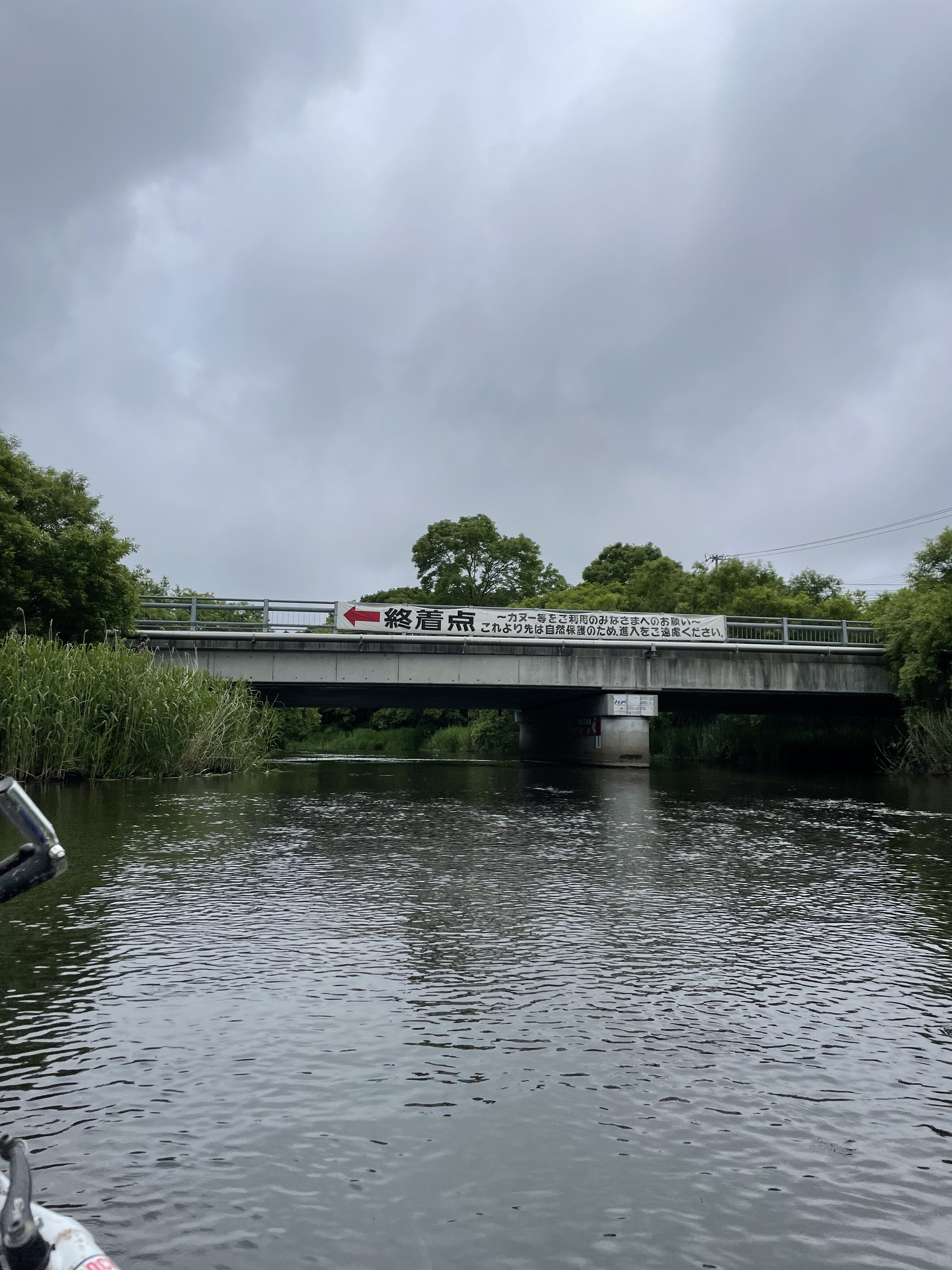
A sign at the bridge read “終着点” — end of the line — asking canoeists and other paddlers not to continue past this point, for conservation reasons. This is Tappukoppu Waterside Park, the day’s takeout.
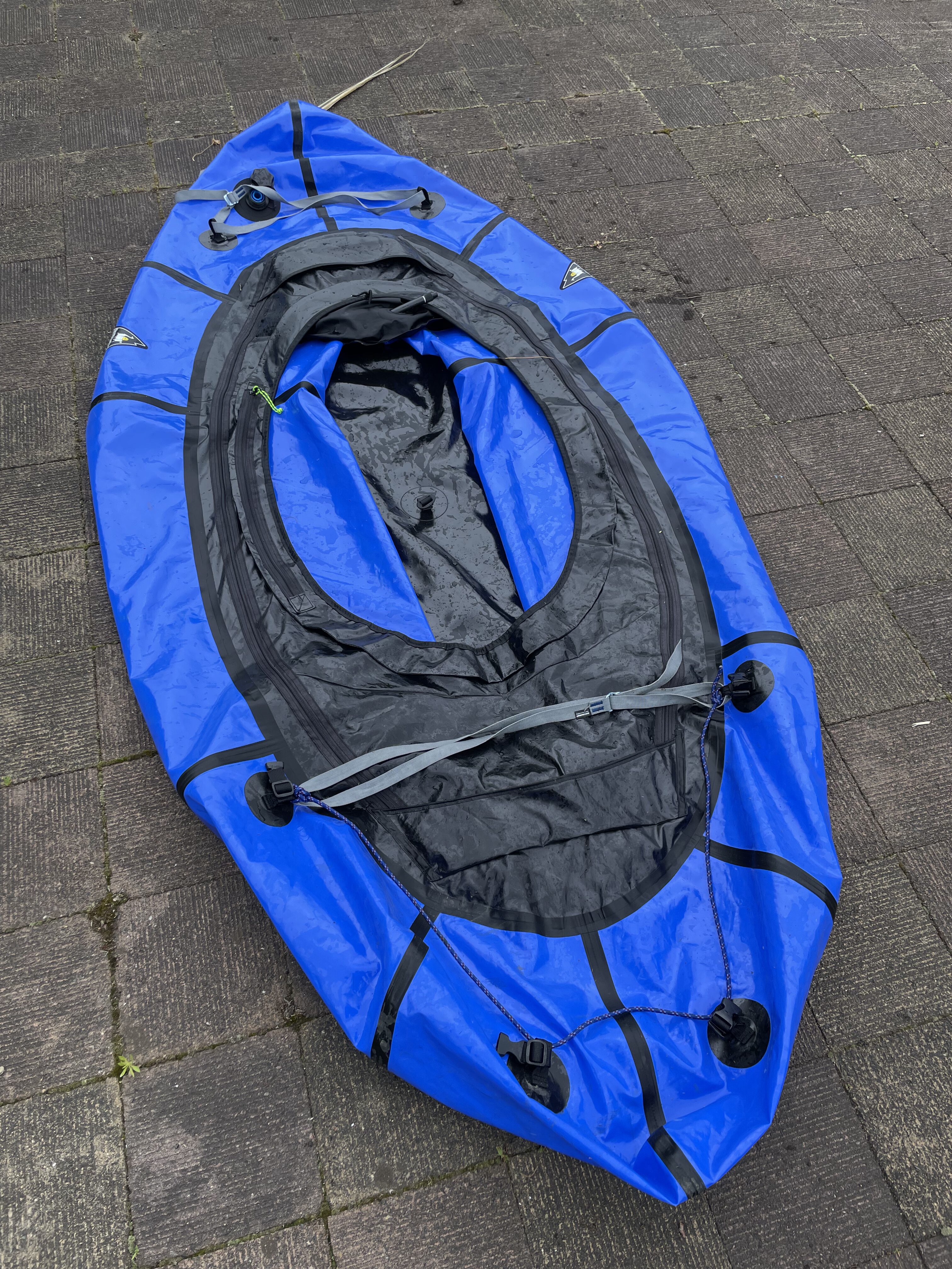
On shore, the raft was deflated and folded into thirds, then strapped back onto the bike.
By Bike to Aji no Daiou
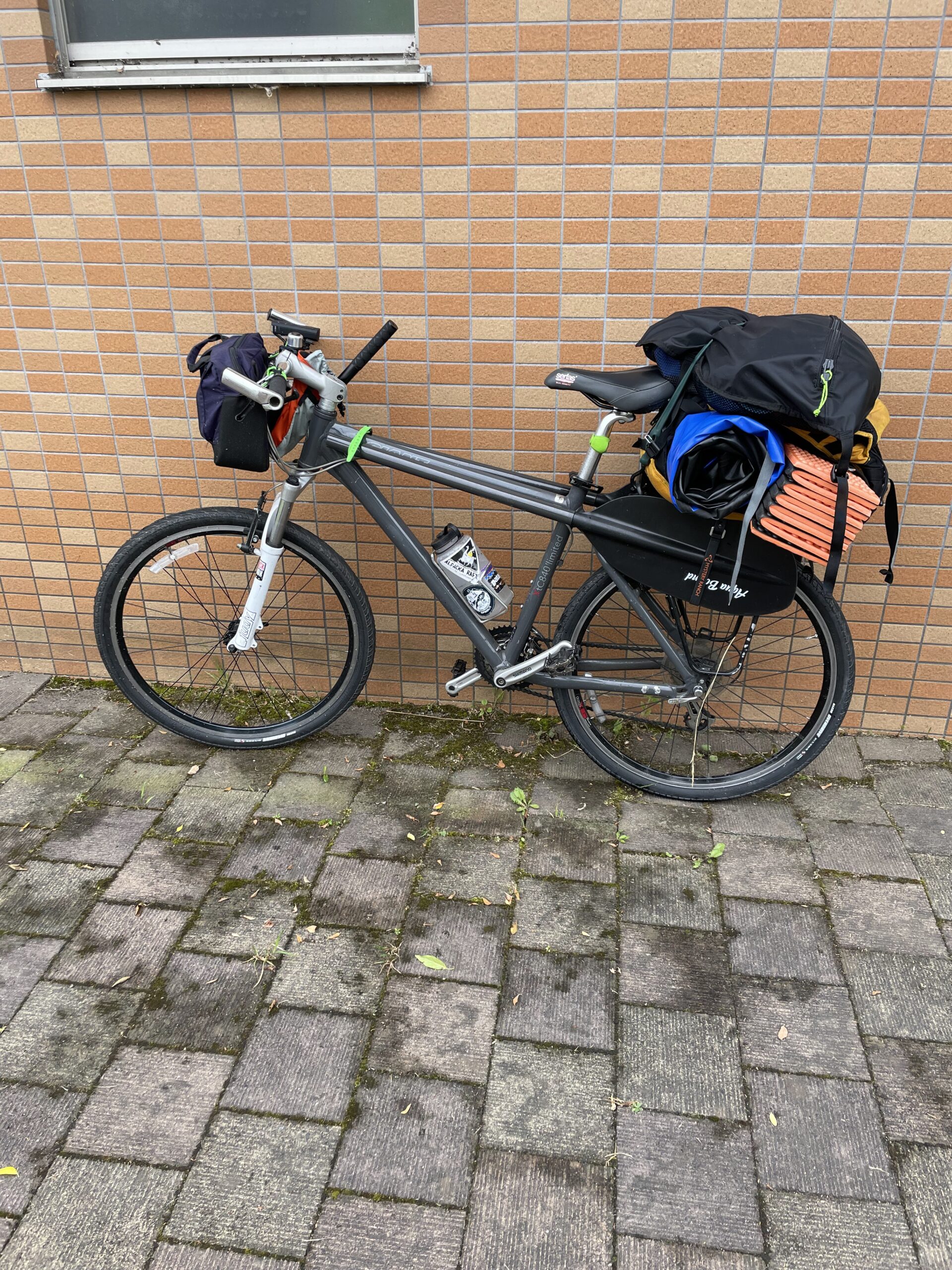
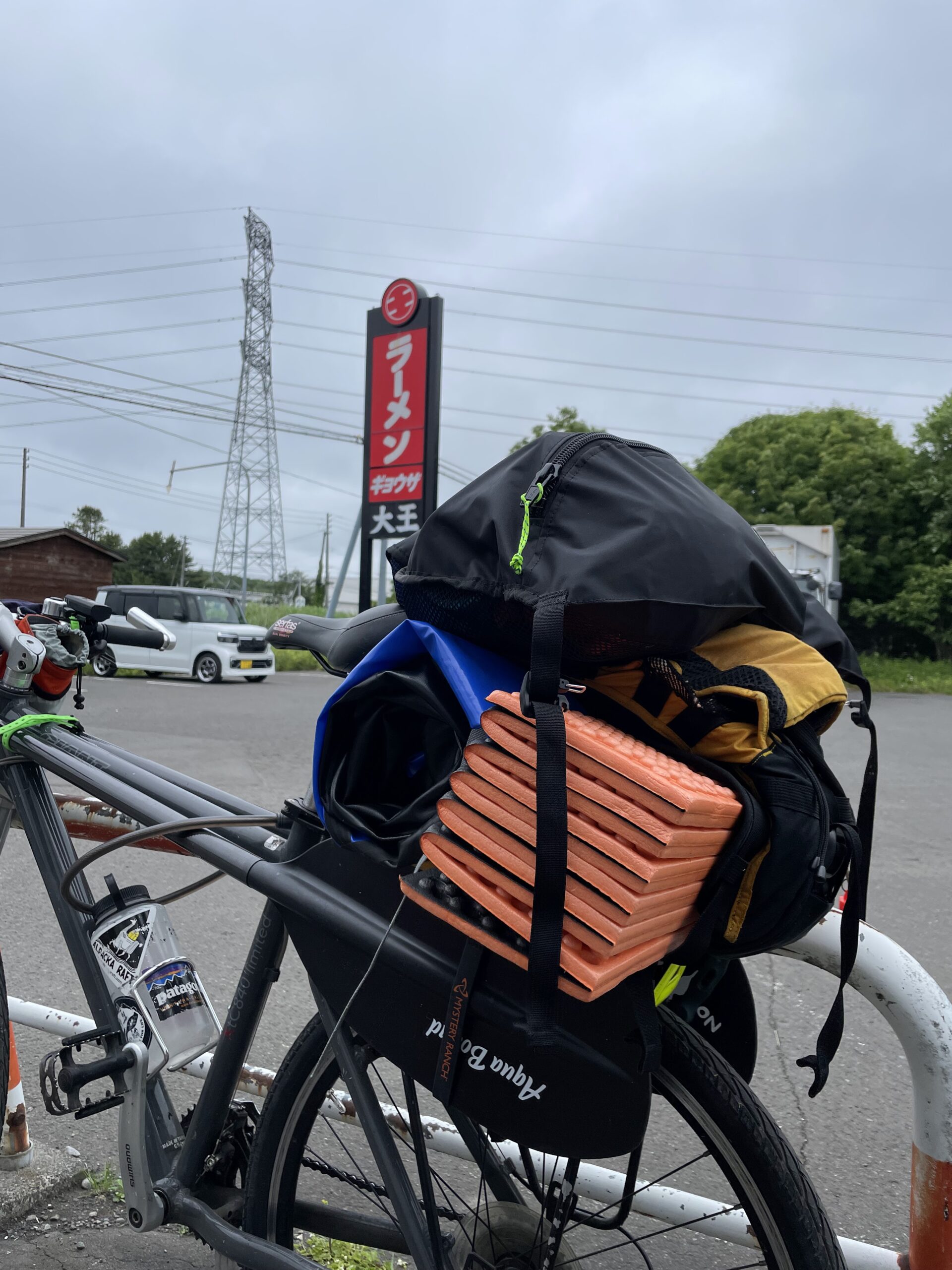
Raft and gear got bundled onto the rear rack, and the ride continued from Tappukoppu Waterside Park up Route 36 toward the roadside station. The load wasn’t exactly a tidy pack job, but it held together for the ride.
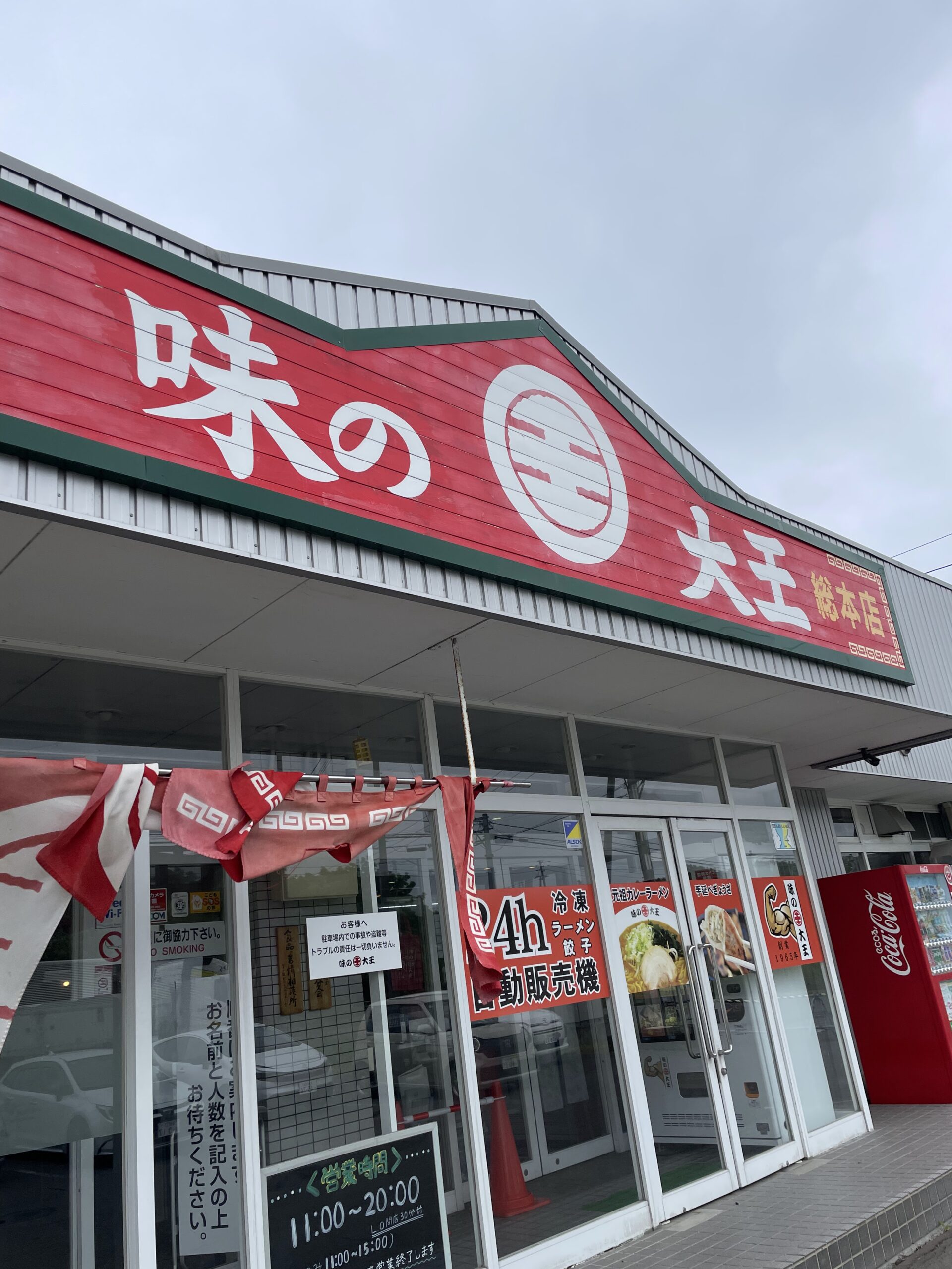
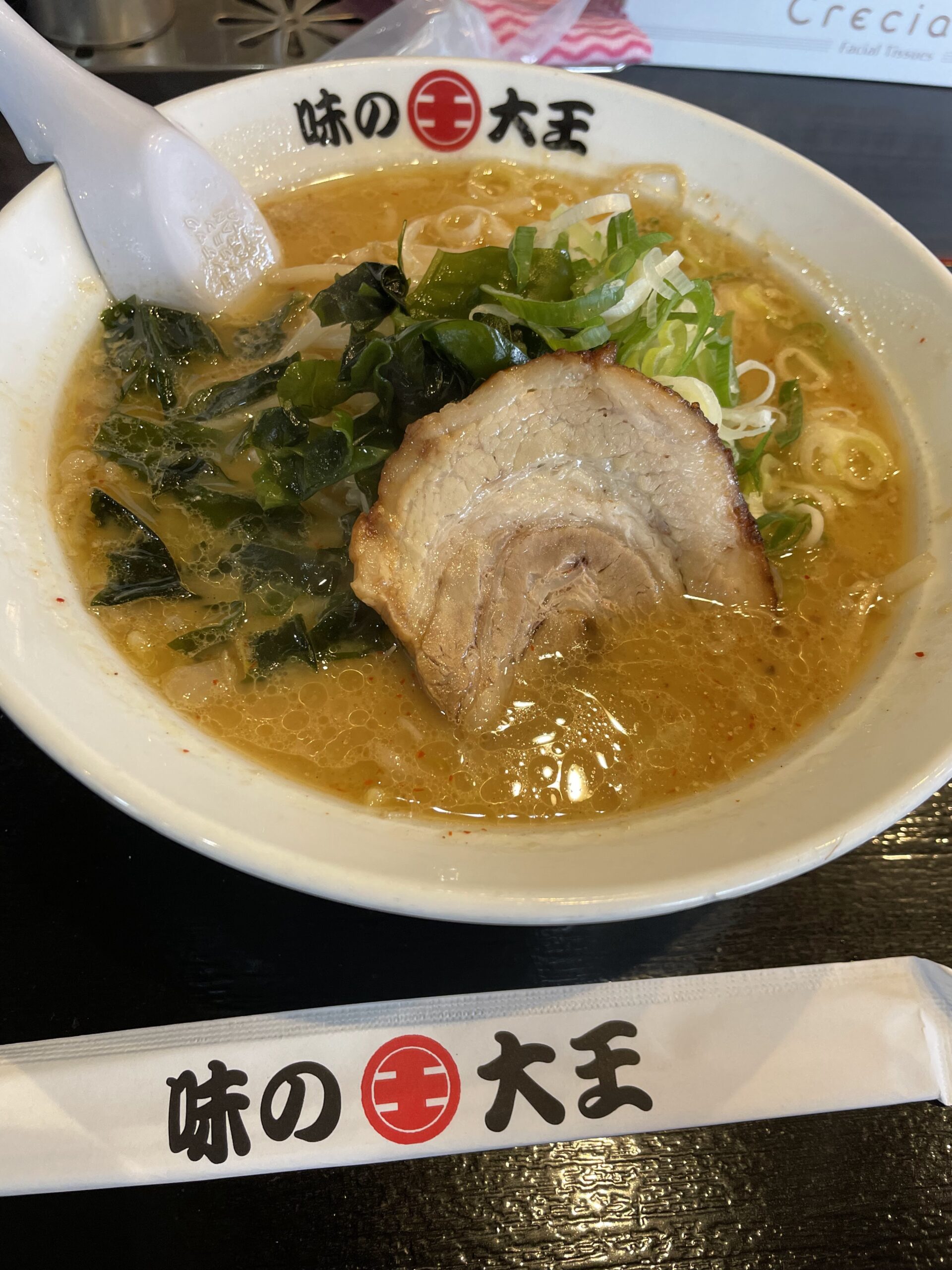
The destination: Aji no Daiou Sohonten. Lunch was miso ramen, topped with chashu, wakame, and green onion. From there, the road led back to Matsubibi Bridge, closing the loop.
What the Bibi River Used to Carry
Back near Matsubibi Bridge, a signboard came into view: “Yūfutsu-goe — The Bibi Boat Landing Site.” Put up by the Tomakomai City Board of Education, it marks a route that once connected Japan’s Pacific coast to its Sea of Japan coast overland, back when this region was still called Ezochi.
According to the sign, the route ran by boat up the Yūfutsu River from the Pacific side, through Lake Utonai, the Bibi River, and the Mizusawa River, then overland to Shikotsu — today’s Chitose — before continuing by boat down the Chitose River to the Ishikari River. The full crossing took roughly three nights and four days. Excavations back up the history: a dugout canoe was found in 1966 on the old right bank of the Yūfutsu River in Tomakomai’s Numanohata area, and a 1992 survey ahead of New Chitose Airport’s construction turned up further dugout canoes, plank boats, and oars carved with swordfish motifs.
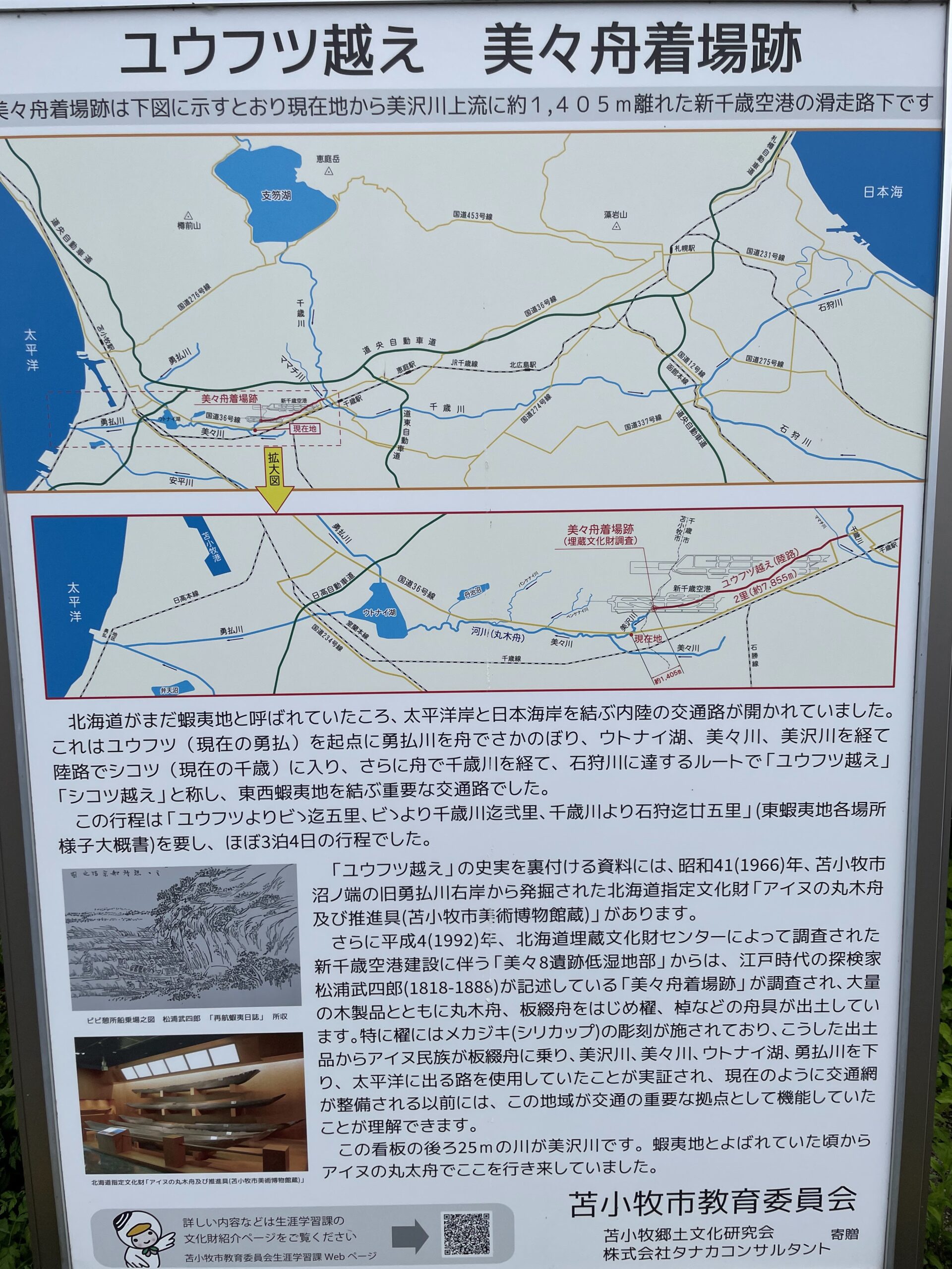
The water covered by packraft this day was, a long time before, part of a working route — dugout canoes moving the same current.
Related
→ Ride Down, Walk Up — Connecting MKT Section 3 at Bihoro Pass https://packrafthokkaido.net/ride-down-walk-up-connecting-mkt-section-3-at-bihoro-pass/

コメント