
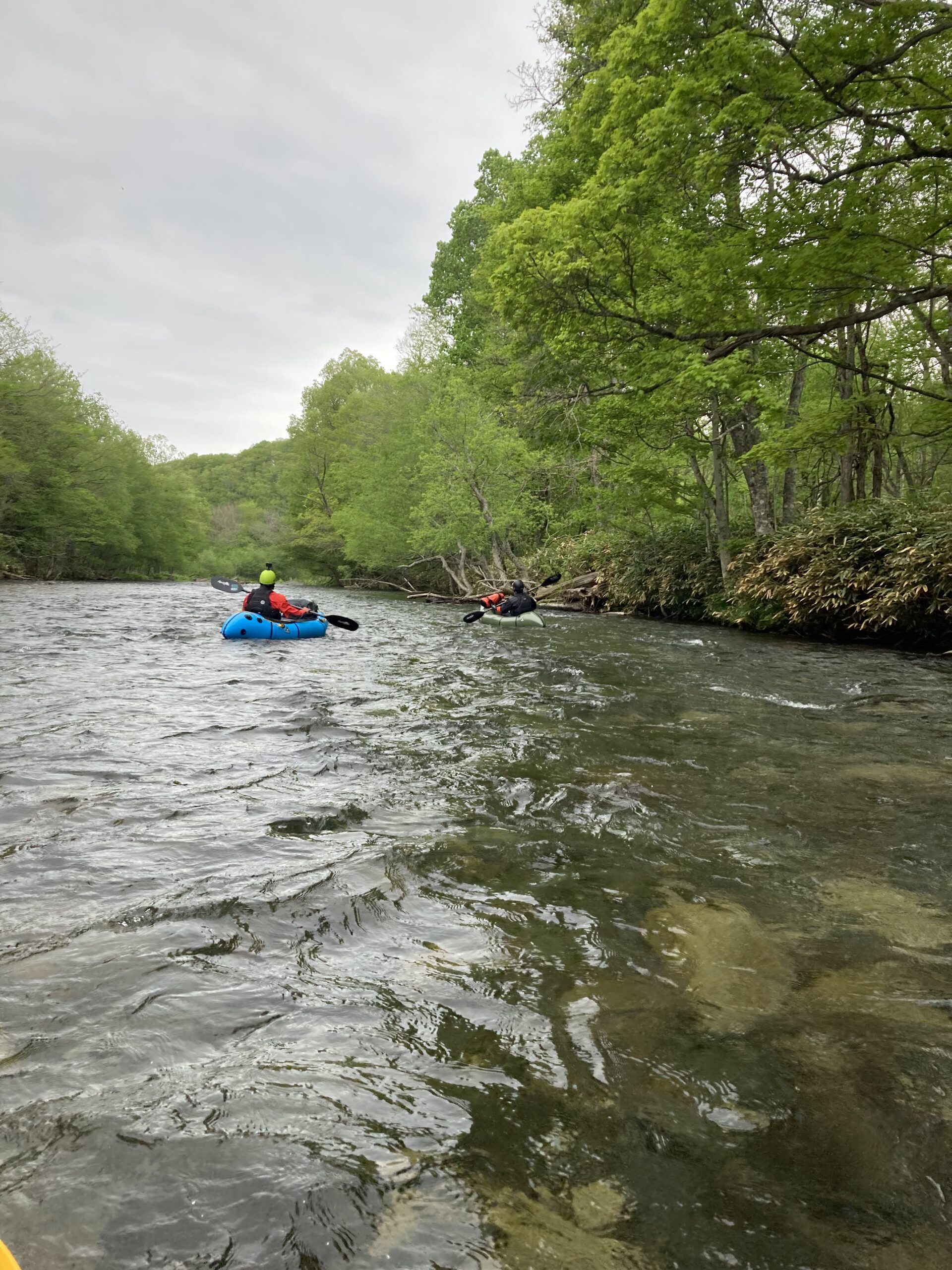
What follows here isn’t about guiding or gear. It’s a place to note the origins of place names and old river records, whenever something catches the eye.
The Sorachi is the Ishikari River’s largest tributary. Its name traces to the Ainu so-rap-chi-pet, meaning a river with waterfalls layered one after another, a reference to Sorachi Falls, once located just below where Takisato Dam now stands. The upper reaches are called the Shisorapuchi River; shi means true or great, marking this stretch as the real, original Sorachi.
A Village Underwater, a Lake Born
At the Sorachi’s uppermost reach, in Minamifurano, sits Kanayama Dam. Severe flooding along the Uryu River in 1955 forced a rethink of flood control across the entire Ishikari system, and building a multipurpose dam on the Sorachi — the system’s largest tributary — became necessary. The dam was completed in 1967, submerging the settlements of Kanayama and Shikagoshi, 261 households in all. The reservoir it created is now Lake Kanayama, known today for its ito, sometimes called the phantom fish.
Between the Main Stem and Its Source
From the Shisorapuchi down into the Sorachi proper, then into Kanayama Dam and its lake — one river channel holds both the memory of a waterfall named in Ainu and the memory of villages that went under.
The Shisorapuchi is a river that’s been run by packraft, including the stretch featured in a TRAILS series.

コメント