
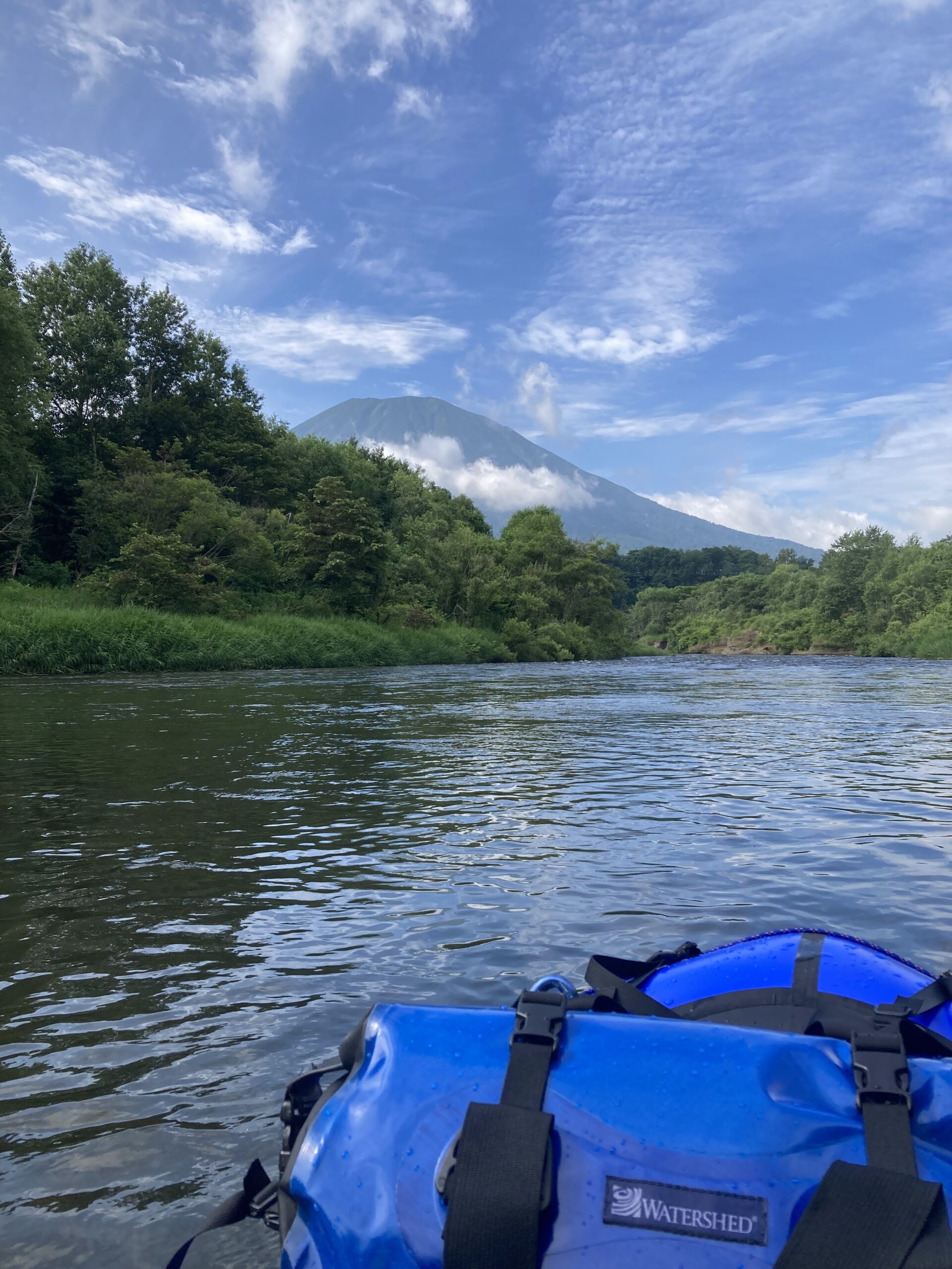
What follows here isn’t about guiding or gear. It’s a place to note the origins of place names and old river records, whenever something catches the eye.
The Shiribetsu River cuts through the Shiribeshi region and empties into the Sea of Japan. Its name comes from the Ainu shir-pet, meaning mountain and river.
Shiribetsu and Makkaribetsu
Mount Yotei, which the river’s watershed circles, carries the formal name Shiribeshi-Yotei-zan. The mountain itself was once called Makkaribetsu-dake. When a first-order triangulation point was set on the summit in 1897, the name officially used was Makkari-dake. Makkaribetsu is also thought to derive from Ainu words for mountain, back, and river — the same vocabulary that named the river now wraps around the mountain that feeds it.
From the Source to the Sea
The Shiribetsu rises in the 700–800 meter range north of Otaki, in Iburi, then bends around Mount Yotei’s skirt and runs west through Shiribeshi to the Sea of Japan. Kutchan, Niseko, Rankoshi — the stretches now known as packraft country line the same river.
The Shiribetsu is a river that’s been paddled more than once.
コメント